This website is no longer updated and has been replaced with a static copy. The Spatial History Project was active at Stanford University from 2007-2022, engaging in dozens of collaborative projects led by faculty, staff, graduate students, post-docs, visiting scholars and others at Stanford and beyond. More than 150 undergraduate students from more than a dozen disciplines contributed to these projects. In addition to a robust intellectual exchange built through these partnerships, research outputs included major monographs, edited volumes, journal articles, museum exhibitions, digital articles, robust websites, and dozens of lightweight interactive visualizations, mostly developed with Adobe Flash (now defunct). While most of those publications live on in other forms, the content exclusive to this website is preserved in good faith through this static version of the site. Flash-based content is partially available in emulated form using the Ruffle emulator.
Terrain of History
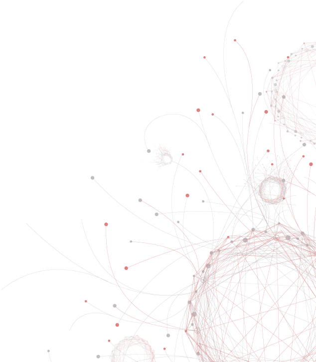
We are creating a geographically precise digitized map of 1866 Rio de Janeiro with historically accurate delineations of streets and property—which include over 15,000 parcels in the central parishes. More than 300,000 historic records including names, addresses, and other detailed information covering the period 1840-1890 are also being organized in a database to reveal interconnections, networks, movement, and change over time. The digitized maps and data created by the project provide the spatially-oriented resources for dynamic visualizations that will inform historical analysis as well as illustrate key findings. Extensions of the project into the twentieth century, through 1930, are planned in the years to come.
This project is one of three urban history/geography research groups in the Stanford Humanities Center: Digital Initiatives. At UNICAMP in Campinas, São Paulo, the Cecult research group is studying the spatial history of Rio de Janeiro and São Paulo during the nineteenth and twentieth centuries. At Brown University, James Green is developing detailed analyses of residents and businesses in a neighborhood around Praça da Constituição (Tiradentes). These projects are developing the most detailed and complete geohistorical archive ever assembled for a city in South America.
Former Research Assistants:
Rosie Cima, Adrienne Fritsch, Alexis Guadarrama, Maya Krishnan, Veriene Melo, Nick Murray, Toral Patel, David Sabeti, Noemi Walzebuck, Eleanor Wilking, Andre Zollinger, Ryan Delaney, Hannah Gilula, Lucas Manfield, Karen Nguyen, Diana Solorio


GALLERY:

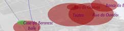
The Plays of França Júnior
Machado de Assis: Memórias Póstumas
Memórias Póstumas: A Novel and a Network in Five Minutes
Backend Visualizations
Chasing an End to Perpetual Deforestation
Distributions of Occupations, 1870
Yellow Fever Epidemic of 1850: Scale, Time, and Space

Property Values and Tinker Locations (Rio, c.1870)
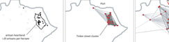
The Artisan Heartland and Tinker
Lawyers in Rio de Janeiro: Movement in the City Center, 1860-1889
Tenement Housing in Rio de Janeiro, 1870s-1880s
Rio de Janeiro Historical Address Locator
The Slave Market in Rio de Janeiro: Movement, Context, and Social Experience