Vulnerability-in-Production is a collaborative project between Stanford University and the University of Colorado Denver. The project endeavors to make advancements in three areas:
Thematic: The story of the 1991 Oakland Hills (Tunnel) Firestorm has been told in a variety of ways. As a story of broken lives and lost possessions for thousands of residents, as a display of bravery and heroism by community members and first responders, and as a reminder of the vulnerability of cities to destructive wildfires. These and other common narratives are accurate in emphasizing the magnitude and long lasting impact of the firestorm in the region's history. Indeed, over a 24-hour period the firestorm destroyed over 3000 homes, killed 25 people and seriously injured more than 150 others.
Yet 20 years and many event narratives later, the story of the firestorm in relation to the region's historical development remains largely untold. This project emphasizes how the story of the firestorm event is part of a larger process of regional economic development and natural resource management. Historical fire regime analysis of the hills region dating back to pre-1900 indicates that many neighborhoods are located in areas experiencing a high frequency of wildfires. Given these apparent risks, this essay pivots around the following simple question: why were homes built in such a vulnerable landscape? Our project describes how the production of vulnerability to the Tunnel Fire is deeply intertwined with a very specific set of regional development policies, land use practices, community actions and environmental changes in the San Francisco Bay Area and around California.
Conceptual: Scholarly attention to the study of vulnerability and WUI wildfires has focused primarily on defining and mapping the social and ecological attributes of risk and vulnerability, and developing snapshot risk assessments for human and non-human populations. While this scholarship is immensely important, this project takes on a different, yet equally valuable, agenda by exploring vulnerability in its spatial-historical context. Rather than use static assessments of vulnerability to explain the WUI environment, this research suggests it is vulnerability itself that requires explanation.
As a project collective, we organize our examination of vulnerability-in-production around three core geographical themes: Accumulation, Interconnectedness and Momentum (AIM). We emphasize the regional and historical context of vulnerability to the 1991 Tunnel Fire while also highlighting vulnerability as more than just a static outcome or inscription. Rather, it is a condition of effect stemming from development and planning policies, and also a state of affect that engenders further land use responses and produces new and enhanced levels of vulnerability. In this way, vulnerability is shown to accrue over time, to accumulate, build momentum and inscribe.
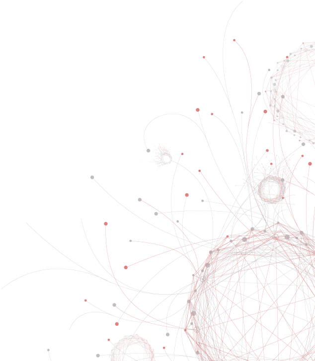
Methodological: Research for this project integrates historical documents, images and GIS databases through the use of rigorous quantitative and qualitative analysis. Drawing on the strengths of geographical and historical methods and epistemologies, we are developing a set of cartographic outputs structured around the collaborative integration of spatial/archival research. Our objective is to not only render archival and policy information spatially, but also enhance data interpretation and analysis through creative animations and interactive visualizations.