This website is no longer updated and has been replaced with a static copy. The Spatial History Project was active at Stanford University from 2007-2022, engaging in dozens of collaborative projects led by faculty, staff, graduate students, post-docs, visiting scholars and others at Stanford and beyond. More than 150 undergraduate students from more than a dozen disciplines contributed to these projects. In addition to a robust intellectual exchange built through these partnerships, research outputs included major monographs, edited volumes, journal articles, museum exhibitions, digital articles, robust websites, and dozens of lightweight interactive visualizations, mostly developed with Adobe Flash (now defunct). While most of those publications live on in other forms, the content exclusive to this website is preserved in good faith through this static version of the site. Flash-based content is partially available in emulated form using the Ruffle emulator.
New Maps for the Old Regime
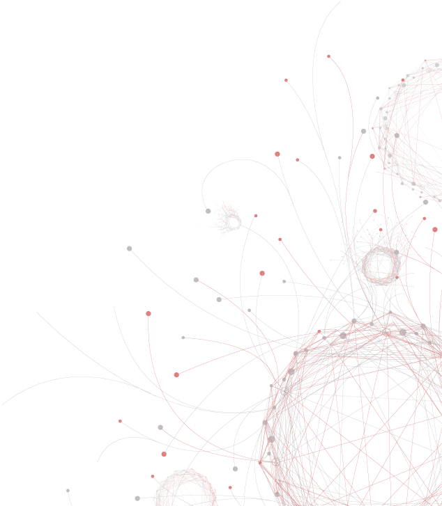
This project uses geospatial and distant reading approaches to gain a more adequate understanding of early modern political geography, to retrace the ways in which goods and people travelled through the physical landscape, and to uncover broad spatial and temporal trends in intellectual history. Past projects included a spatial analysis of traffic flows at the crossroads of two of the most important trade routes in late medieval Europe, and a data-driven critique of the polygon as the main vector data model for representing political entities in historical GIS. Because incomplete data is a fundamental challenge in pre-modern spatial history, we also develop new ways of estimating and visualizing uncertainty in geospatial data. Currently, our main focus is on mapping and interpreting broad shifts and patterns in early modern petitions and legal dissertations, the sheer quantity of which defies conventional scholarship.